History
Planet Earth is home to 195 countries, 26 Brazilian states, and hundreds of capitals, flags, and regions — each with its own identity, culture, and place on the map. Knowing geography is not just memorizing names: it is understanding how the world is organized, where each place is, and what makes each region unique.
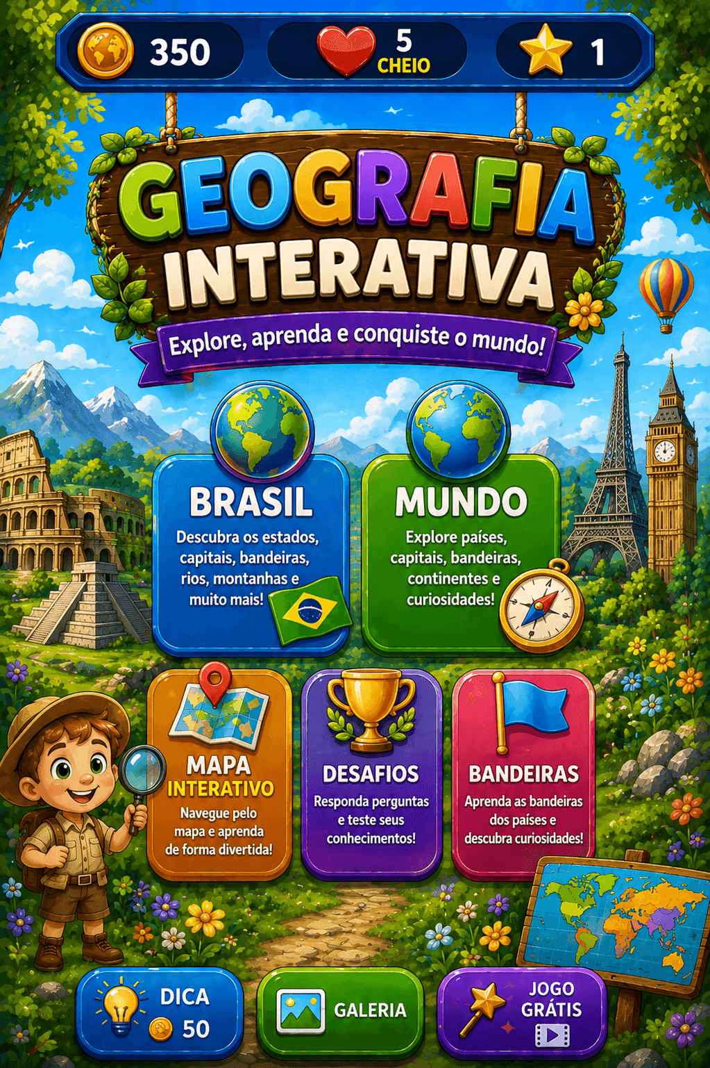
Interactive Geography turns this vast knowledge into a game with five distinct modes. You can explore Brazil state by state, travel through the world's countries, identify flags, locate regions on interactive maps, or embark on Travel Mode — a journey through real destinations that rewards curiosity and persistence with XP and achievements.
Mechanics
The game offers five ways to learn geography. In Brazil mode, multiple-choice questions cover the 26 states and the Federal District: capitals, regions, biomes, demonyms, and state flags. In World mode, countries from every continent take the stage with their capitals, flags, and curiosities.
In Flags mode, images of Brazilian state and world country flags appear on screen — you must identify which state or country each flag belongs to. In Map mode, the outlines of states or countries are highlighted on the interactive map and you must name them correctly.
Travel Mode is a different experience: you choose a route (Brazilian regions or world continents), advance through question stages, and accumulate XP to unlock traveler achievements. There are 10 available routes — from Brazil's North, Northeast, Center-West, Southeast, and South regions to the Americas, Europe, Asia, Africa, and Oceania.
Challenges
The greatest challenge is scope: with 26 Brazilian states and nearly 200 world countries, memorizing lesser-known capitals — like Macapá (Amapá) or Asmara (Eritrea) — requires study beyond common knowledge. In Flags mode, similar designs between neighboring countries (such as Caribbean or sub-Saharan African nations) are frequent traps.
In Map mode, identifying states by their outline without seeing the name requires visual familiarity with the geographic shape of each region. In Travel Mode, maintaining strong performance across all stages of a route — especially on the least-studied continents like Oceania and Africa — is what separates casual explorers from the most dedicated.
Tips to Win
- 1In Brazil mode, associate each capital to its state with a visual image or mnemonic — linking the state's shape or location to its capital name works well.
- 2For flags, start by identifying standout elements: crosses, stars, horizontal or diagonal stripes quickly narrow down the options.
- 3In Map mode, study the most unusual outlines: Amapá (triangle in the north), Rio Grande do Norte (right angle), and Mato Grosso do Sul are the most commonly confused.
- 4In World mode, focus first on capitals of the largest and most populous countries — they appear more often and carry more points.
- 5In Travel Mode, prioritize Brazil routes before moving to continents — the vocabulary and question format for Brazil are more familiar and help accumulate XP for international routes.